August 2023
DRI researchers link landscape evolution and soil strength to inform military needs in emerging regions
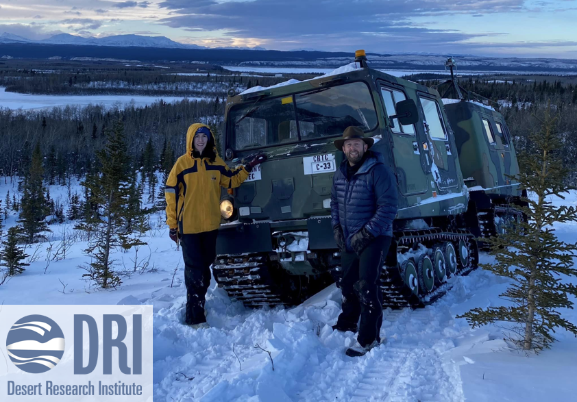
Click the image above to read Elyse DeFranco's write-up!
May 2023
A new source of fire records, hidden in the sands, gives us a bigger picture of the risks
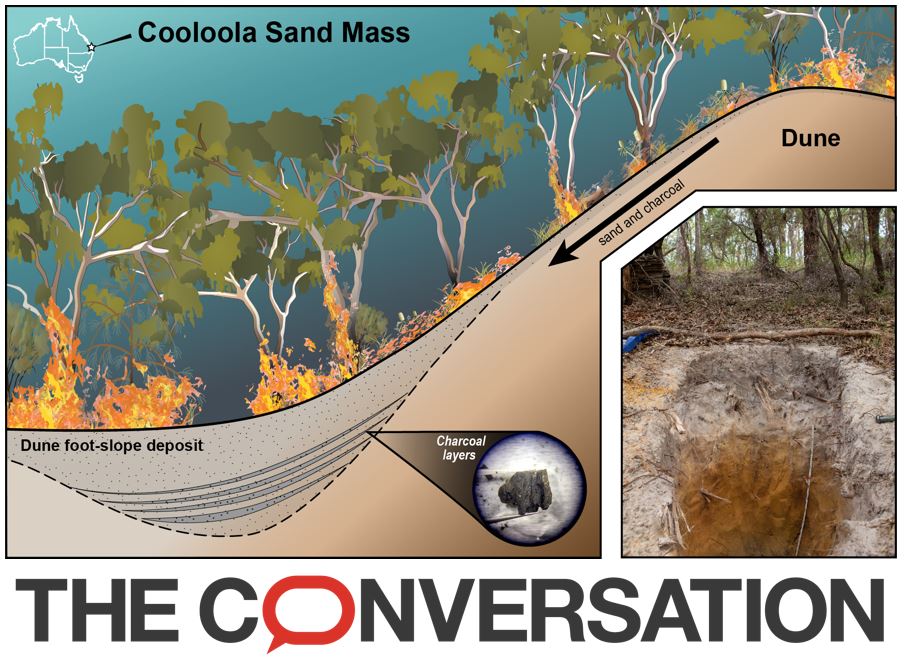
Click "The Conversation" icon above to read our story!
November 2022
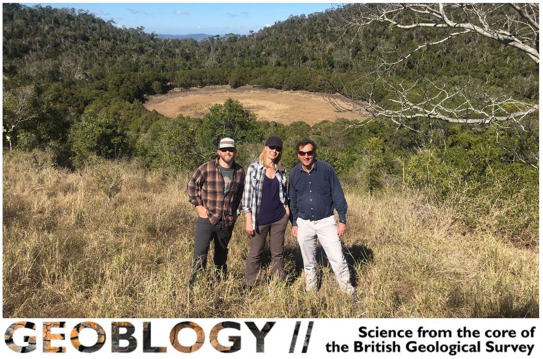
Scientists Uncover Conditions Key to Formation of the Great Barrier Reef
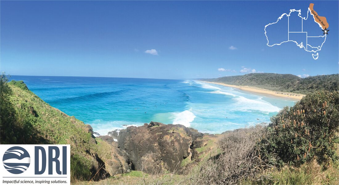
Click the image above to read Elyse DeFranco's write-up on our story!
August 2021
One of the most damaging invasive species on Earth’: wild pigs release the same emissions as 1 million cars each year
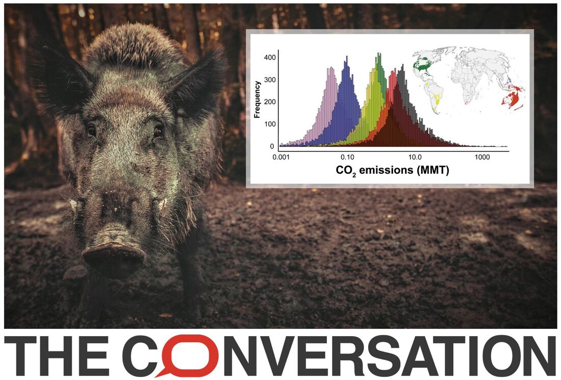
Click "The Conversation" icon above to read our story!
January 2021
Burnt ancient nutshells reveal the story of climate change at Kakadu — now drier than ever before
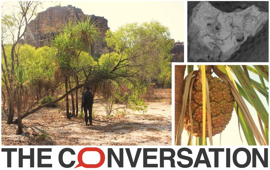
Click "The Conversation" icon above to read our story!
December 2019
Digging for the truth- Landscape evolution of the South East Queensland Dunefields
Picture 1
|
Picture 2
|
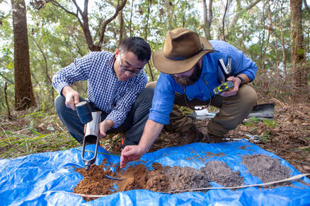
On a recent trip to the south east Queensland dunefields Patrick Adams, Dr. Daniel Ellerton, Dongliang Ning and Nick Patton aim to determine the ages of dune emplacement and the mechanisms controlling their evolution. Picture 1 shows Daniel augering through the crest of a dune we estimate to be ~2 ka. Each excavated auger sample was laid out on a tarp in sequential order to record physical characteristics and properties by Donglian and Nick, Picture 2. Samples were collected for future analyses and archiving. At approximately 3 m depth a steel insert was placed in the auger head to collect the optically stimulated luminescence (OSL) sample. These samples were sent to Utah State University OSL Laboratory for age determination.
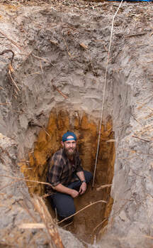
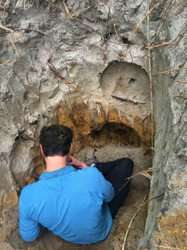
In addition to augering, soil pits were collected at the crest, mid-slope, and toe-slope of a 10 ka and 5 ka dune. Each soil pit was hand excavated until original parent material (C-horizon) was visible. Picture 3 shows Nick in a typical soil pit of 2.75 m. This 10 ka dune's depositional toe-slope highlights the depths of podzolization and stark distinctions between horizons. Samples are taken down through the profile to determine bulk density, grain size, nutrients, 10Be, and chemical analyses.
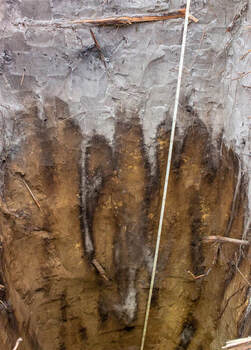
Picture 4 shows a close up of a 5 ka dune profile. The pure white sands found in the E-horizon are very acidic (pH 3) which strips the grains. As water flows through the profile it forces the dissolved solution down forming piping and consequently creates the B-horizon. We have observed these pipes to be over 1.5 m long in some areas.
In addition to augering, soil pits were collected at the crest, mid-slope, and toe-slope of a 10 ka and 5 ka dune. Each soil pit was hand excavated until original parent material (C-horizon) was visible. Picture 3 shows Nick in a typical soil pit of 2.75 m. This 10 ka dune's depositional toe-slope highlights the depths of podzolization and stark distinctions between horizons. Samples are taken down through the profile to determine bulk density, grain size, nutrients, 10Be, and chemical analyses.
Picture 4 shows a close up of a 5 ka dune profile. The pure white sands found in the E-horizon are very acidic (pH 3) which strips the grains. As water flows through the profile it forces the dissolved solution down forming piping and consequently creates the B-horizon. We have observed these pipes to be over 1.5 m long in some areas.
Picture 3
|
Picture 4
|
Picture 5
|
Picture 5 shows how Dan collects OSL via hammer core method. These samples are collected through the face of the soil profile to determine rates of deposition. To confirm our OSL dates, layers of charcoal have been collected. Though its difficult to see, there are up to >5 charcoal layers through this soil profile. The abundance of charcoal indicates a rich fire history and possibly a critical driving mechanism of sediment movement across the landscape.
October 2018
Getting a taste for Australian drought history
Click "GeoBlogy" icon above to read our story!
August 2017
Reynolds Creek CZO Tour
Click "Predicting Soil Thickness" image above to watch their story!
